GLOBAL geospatial SOLUTION provider
Services
Delivering innovative geospatial solutions for various international sectors.
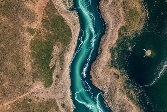
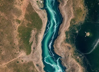
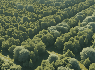
Satellite Data Processing & Analysis


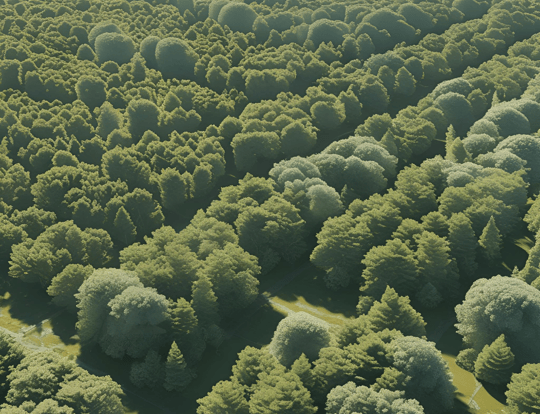
Drone Data Processing
Lidar Data Processing
GIS Data Processing
Preprocessing
Radiometric correction (adjusting sensor noise, calibration)
Geometric correction (alignment with map coordinates)
Noise removal (e.g., atmospheric correction)
Resampling and re-projection
Image Processing
Image enhancement (contrast stretching, filtering)
Image fusion (combining different sensor data)
Pan-sharpening (enhancing spatial resolution)
Data Analysis and Interpretation
Classification (supervised/unsupervised)
Change detection (monitoring changes over time)
Object detection and feature extraction
NDVI (vegetation), NDBI (built-up), NDWI (water)
Data Preprocessing
Geotagging: Attach GPS data to images
Image quality check: Remove blurred or over/underexposed images
Ground Control Points (GCPs) (if high accuracy is needed)
Generate Output:
Orthomosaic (georeferenced 2D image)
Digital Surface Model (DSM)
Digital Terrain Model (DTM)
3D point clouds
Mesh models (3D visualization)
Calculate volumes (e.g., stockpiles, excavation sites)
Measure surface areas and elevation profiles
Visualization & Reporting
Generate maps, 3D models, elevation profiles
Share results through web maps or PDF reports
Processing & Classification
Differential GPS correction (PPK/RTK) for higher accuracy
Classification: Ground (terrain), Non-ground (vegetation, buildings, power lines)
Data Products Generation
Digital Terrain Model (DTM)
Digital Surface Model (DSM)
Contours
3D visualization: Point clouds, mesh models, contours
Feature Extraction
Extract linear and polygonal features (e.g., roads, buildings, power lines)
Tree height and density estimation
Volume calculations (e.g., stockpiles, cut/fill analysis)
Change Detection
Compare LiDAR datasets from different times
Identify changes in terrain, vegetation, infrastructure
Data Import and Quality Control
Import spatial data (vector: points, lines, polygons; raster: imagery, DEMs)
GIS Data conversions (KML, GeoTIFF, ASCII Grid, CAD etc.)
Metadata tagging and documentation
Remove duplicates and topological errors (gaps, overlaps, slivers)
Fix attribute errors and missing data
GIS Analysis
Overlay analysis: Intersect, union, clip, erase
Proximity analysis: Buffers, nearest neighbor, distance calculations
Terrain analysis (using DEMs): Slope, aspect, hillshade, watershed
Map algebra: NDVI, land cover classification
Raster-to-vector and vector-to-raster conversions
Map Creation and Visualization
Thematic maps (land use, population density, risk zones)
Cartographic design: symbols, legends, scale, north arrow, layout
3D scenes and fly-through animations
Training and Support
Software training (QGIS, ArcGIS, Pix4D etc.)
Technical support and consulting
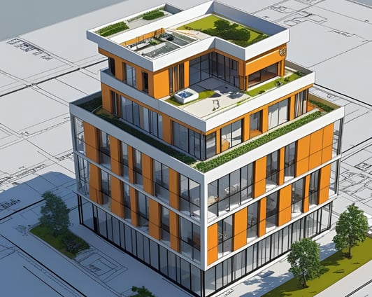
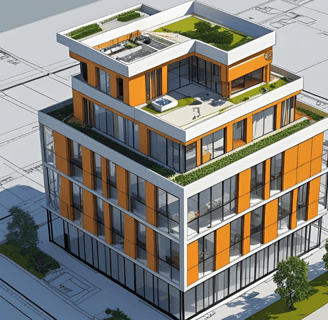
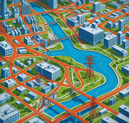
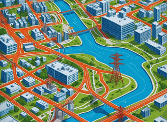
3-D Modelling
3-D Modelling from
2D CAD Drawing
Photogrammetric Image
Lidar data
Topographic surveys
3D Visualization and Rendering
Animation and fly-through videos
3D Walkthrough
Architectural visualisation (interior/exterior models)
KS Total Solutions provided exceptional geospatial services, delivering precise results that greatly enhanced our project outcomes. Their expertise in satellite and drone data is unmatched.
John Doe

★★★★★